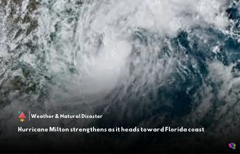
Hurricane Milton is being closely monitored as it moves over the Gulf of Mexico, with forecasts predicting it will strengthen into a Category 4 storm. The hurricane is expected to approach Florida’s west coast and make landfall as a Category 3 by Wednesday (9 October). Currently, no tropical weather watches are active in Florida, but hurricane and storm surge watches are anticipated on Monday (7 October).
Milton is showing sustained winds of 90 mph and is expected to strengthen further. Forecast models indicate high consistency in pointing the storm toward Florida, but the exact location of landfall remains uncertain. Depending on the storm’s path, different parts of the West Coast may experience varying levels of wind and surge impact.
Residents near bodies of water, such as the Gulf and rivers, are advised to stay alert as storm surge risks exist even if the storm hits farther north. Flood Watches have already been issued due to the heavy tropical air mass over South Florida, which is expected to bring 4 to 8+ inches of rain in the coming days. Flooding of rivers, streams, and low-lying areas is a significant concern.
Preparation is crucial, as tropical storm-force winds could arrive as early as Tuesday evening (8 October, local time). Residents are urged to complete any outdoor preparations by then to minimize the storm’s potential impact. As forecast updates become available, more detailed predictions on wind and storm surge impacts are expected.
References


Comments 1