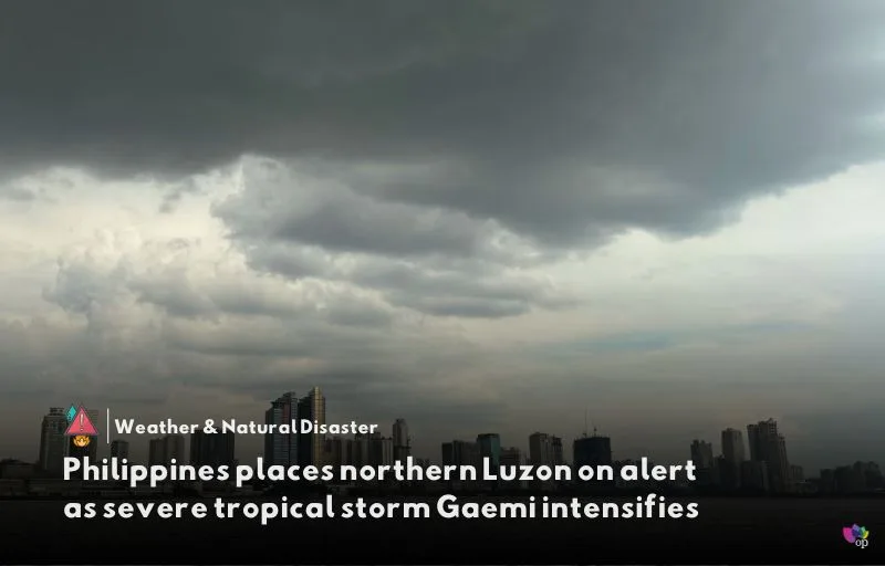
Northern parts of Luzon island in the Philippines have been placed on alert as severe tropical storm Gaemi, locally known as Carina, continues to intensify. The storm is forecast to become a typhoon within the next 12 hours and is expected to further intensify over the next four days on its trajectory towards Taiwan.
In an advisory issued on July 22, the Philippine weather bureau, PAGASA, warned of potential floods and landslides. The areas placed under the lowest alert level in a five-step warning system include the eastern portion of Cagayan province, the Babuyan Islands, and the northeastern portion of Isabela province.
Gaemi is currently packing maximum sustained winds of 110 kilometers per hour (68 miles per hour) and gusts of up to 135 kilometers per hour. It is anticipated to exit the Philippines late July 24 or early July 25 and will likely head towards Taiwan.
The storm’s center was last located 340 kilometers east-northeast of Casiguran, Aurora. PAGASA maintained Tropical Cyclone Wind Signal No. 1 over the eastern portion of mainland Cagayan (covering Santa Ana, Gattaran, Baggao, Peñablanca, Lal-Lo, and Gonzaga), including the eastern portion of Babuyan Islands (Camiguin Island, Babuyan Island), and the northeastern portion of Isabela (covering Divilacan, Palanan, and Maconacon).
Areas under Tropical Cyclone Wind Signal No. 1 may experience wind speeds of 39 to 61 kilometers per hour, which pose minimal to minor threats to life and property, according to PAGASA. The bureau continues to monitor the situation and advises residents to stay alert and follow any further updates.
References


Comments 1