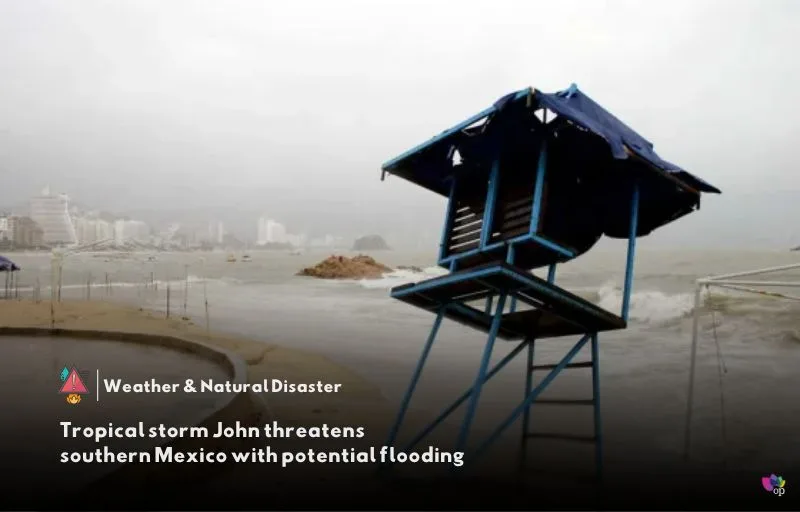
Tropical Storm John has formed in the eastern Pacific Ocean and may bring heavy rainfall and potential flooding to southern Mexico later this week. The U.S. National Hurricane Center (NHC) reported early on Monday (23 September) that the storm was nearly stationary but had sustained winds of 65 kph (40 mph) as it hovered around 240 kilometers (150 miles) south of Punta Maldonado, Mexico.
A tropical storm watch is currently in effect from Punta Maldonado to Salina Cruz, indicating the possibility of tropical storm conditions within the next 48 hours. The watch means that winds between 63 and 117 kph (39 to 73 mph) could affect the region, and forecasters expect the storm to strengthen as it edges closer to the southern coast of Mexico on Tuesday (24 September) and Wednesday (25 September).
The NHC has warned of significant rainfall, with the storm expected to drop between 15 and 30 centimeters (6 to 12 inches) of rain across coastal areas of Chiapas state through Thursday (26 September). Heavier rainfall is forecast for areas along and near the Oaxaca coast and parts of southeast Guerrero, with predictions of 25 to 50 centimeters (10 to 20 inches) and isolated totals exceeding this range.
Local authorities are monitoring the situation closely, especially as John is expected to become stronger before landfall. Flash flooding, landslides, and disruptions to infrastructure could occur in the affected areas, and residents are urged to prepare for severe weather conditions.
References


Your article helped me a lot, is there any more related content? Thanks!
Thank you for your sharing. I am worried that I lack creative ideas. It is your article that makes me full of hope. Thank you. But, I have a question, can you help me?
Thanks for sharing. I read many of your blog posts, cool, your blog is very good.
Thank you for your sharing. I am worried that I lack creative ideas. It is your article that makes me full of hope. Thank you. But, I have a question, can you help me?