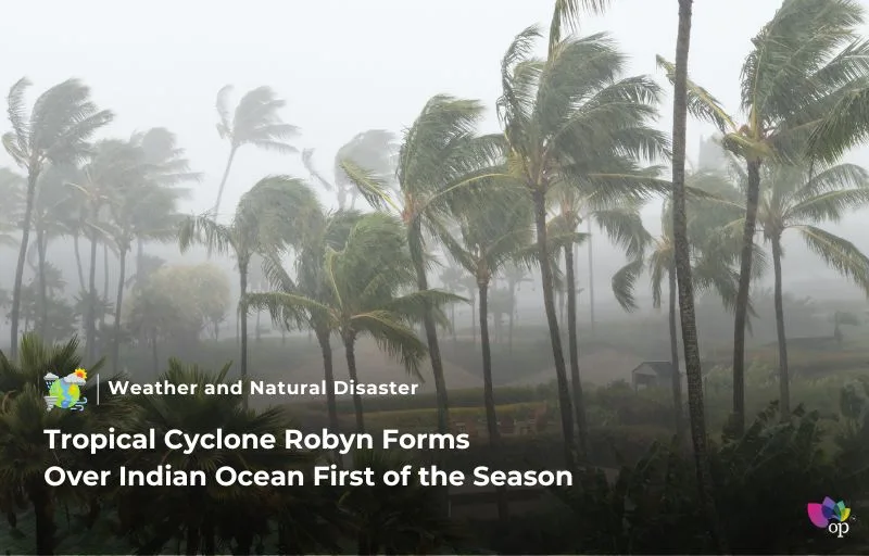
According to the reports on Friday (29 November), Tropical Cyclone Robyn has become the first named storm of the 2024-25 season in Australia’s tropical cyclone monitoring area. It developed on Thursday afternoon (28 November, local time) as a Category 1 system in the eastern Indian Ocean, approximately 740 km west-southwest of the Cocos (Keeling) Islands. The Bureau of Meteorology officially named the cyclone, which marks the beginning of a season that typically runs from November to April.
Robyn is forecasted to move southward on Friday before shifting westward over the weekend, where it is expected to weaken. On its current trajectory, the cyclone does not pose a direct threat to the Australian mainland or the Cocos (Keeling) Islands. Its formation coincided with an active pulse of the Madden-Julian Oscillation (MJO), a weather phenomenon known to heighten the likelihood of rain, thunderstorms, and tropical cyclones in the region.
Australia experiences 9 to 11 tropical cyclones per season within its area of responsibility. While Robyn’s formation is not unusual during this time of year, it highlights the importance of monitoring for potential impacts from such systems, even when they initially appear to pose minimal threat. The climate’s increasing volatility emphasizes the need for preparedness and accurate forecasting.
DTN APAC offers expert services to help businesses prepare for severe weather, including real-time updates and extended forecasts for developing low-pressure systems. By providing precise intelligence on rainfall, wind speeds, and storm surges, DTN ensures organizations have the tools to safeguard their operations and make critical decisions. Their solutions are tailored to help mitigate risks and maintain safety during extreme weather events.
References


Can you be more specific about the content of your article? After reading it, I still have some doubts. Hope you can help me.