According to the reports on Monday (23 December), tropical depression Romina has prompted the issuance of Tropical Cyclone Wind Signal No. 1 over southern Palawan, particularly Balabac and Kalayaan Islands. PAGASA reported that the storm, with maximum sustained winds of 55 kph and gusts up to 70 kph, is moving northward at 35 kph. The cyclone is expected to intensify as it moves toward the western part of Kalayaan Islands and away from the Philippine landmass.
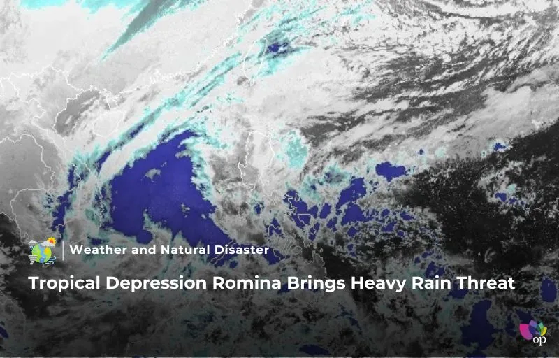
The storm’s trough and the shear line are bringing widespread cloudy skies and rain to various regions. Affected areas include Southern Luzon, the Visayas, and parts of Mindanao, such as the Zamboanga Peninsula, Basilan, Sulu, and Tawi-Tawi. Meanwhile, fair weather is expected in the rest of the country. PAGASA has warned that the shear line is causing additional rain over eastern Southern Luzon and the Visayas, further compounding weather challenges.
Heavy rainfall is forecasted for the next few days, with intense to torrential rains exceeding 200 millimeters expected in Kalayaan Islands. Other areas like Palawan, Quezon, and parts of the Bicol region are also anticipated to experience heavy rains. From today until tomorrow, moderate to heavy rainfall will affect regions such as Albay, Sorsogon, and Northern Samar, creating potential risks for flooding and landslides.
PAGASA has urged residents and local disaster risk reduction offices to take precautions, especially in mountainous and elevated areas where rainfall impacts may be worsened. The combination of heavy rainfall and antecedent weather conditions poses significant risks to life and property. The public is advised to stay updated on weather advisories and prepare for possible emergency measures.
References