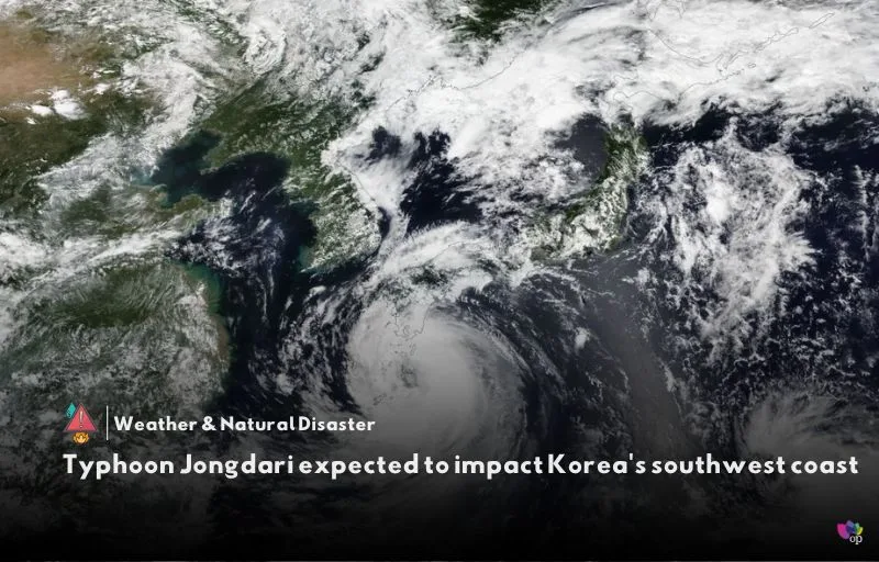
Typhoon Jongdari, which formed around 290 kilometers southwest of Okinawa, Japan, at 03:00 (local time) on Monday (19 August), is on a projected path toward Korea’s southwest coast.
The Korea Meteorological Administration (KMA) has indicated that the typhoon, currently moving northward, is expected to pass approximately 120 kilometers southwest of Seogwipo, Jeju Island, on the night (local time) of Tuesday (20 August).
It is anticipated to weaken into a tropical depression before making landfall near Gunsan, North Jeolla, around 03:00 (local time) on 21 August (Wednesday). The storm is forecasted to dissipate near Chuncheon, Gangwon, by 15:00 (local time) on the same day.
As of 15:00 (local time) on Monday (19 August), Typhoon Jongdari had a central pressure of 996 hectopascals (hPa) and maximum sustained winds of 68 kilometers per hour, with a wind radius extending 240 kilometers.
The typhoon is expected to bring substantial rainfall across Korea, with Jeolla, Gyeongsang, and Jeju Island anticipating up to 80 millimeters of rain, and mountainous areas of Jeju potentially receiving up to 100 millimeters.
This significant moisture influx is expected to result in widespread rain showers across the country through Wednesday (21 August).
References


Comments 1